
Land-Use Study for Středokluky
team:
Filip Musálek, Linda Obršálová, Silvia Pajerová, Lydia Šušlíková, Michaela Sinkulová, Vít Rous, Ondřej Kvaček
client:
Municipality of Středokluky
typology:
theme:
About the Land-Use Study in Středoklucy
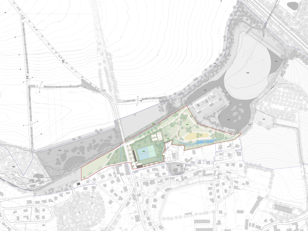
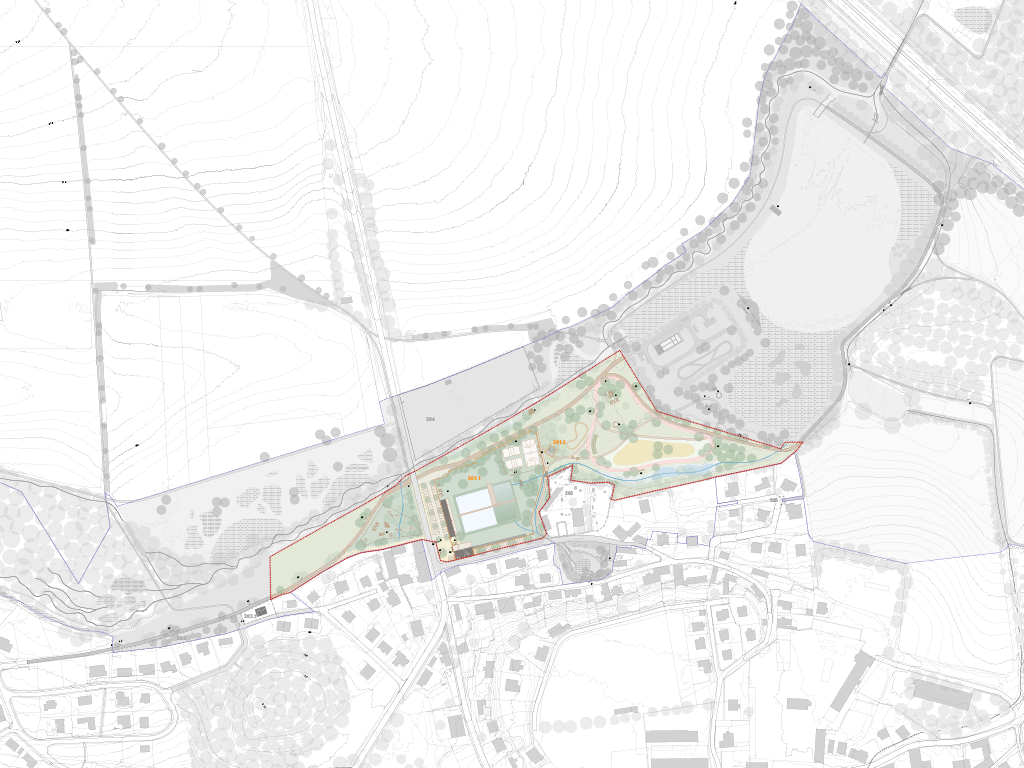
During the design process, we focused on three main layers of the territory and developed their potential into a comprehensive conceptual framework. The first of these is the landscape layer, the second is the water layer – which closely intertwines with the landscape and shapes the character of the settlement – and the third is the human layer. This reflects human needs within the territory and must be in harmony with the previous two layers in order to achieve a functional and harmonious integrity.
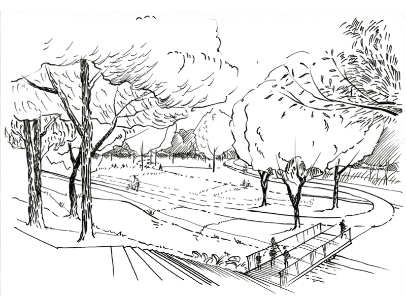
The flat landscape in this part of central Bohemia is traversed from west to east by the valley of the Zákolanský stream. While the slopes of the left bank gently rise towards Makotřasy in the north, the right bank is significantly richer in form due to numerous springs that flow down the slopes and feed the stream. Significant elements in the landscape are copses and riparian forests along the stream. These form a prominent green line that weaves through the intensively farmed landscape and provides refuge for wildlife. Long-distance views and solitary hills, such as Sedlička or Číčovický kamýk, are typical of the local environment. The aim of the design was to connect the landscape elements along the stream and Panský pond – riparian forest, wetlands, mature willows, poplars and solitary trees – and thus create an interconnected, integral whole.
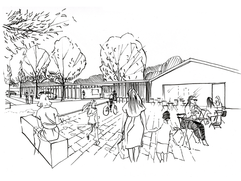
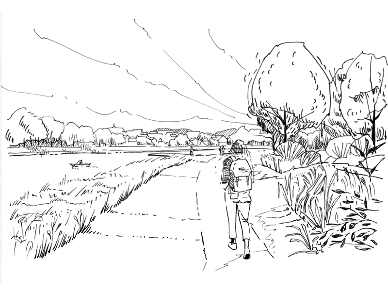
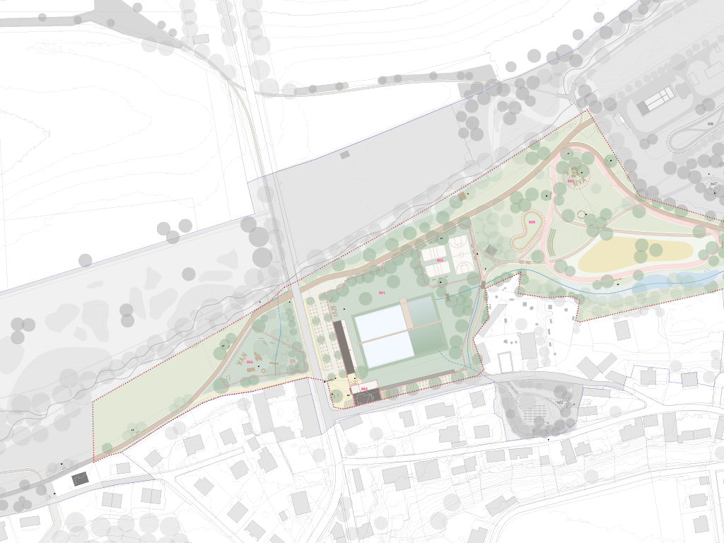
The floodplain and the Zákolanský stream itself represent not only a natural monument, but also a Site of Community Importance, which enters Středokluky from the west near Kožová hora, continues further through Okoř and flows into the Vltava. The valley offers high recreational potential and at the same time a valuable environment for both fauna and flora. The restored pond plays a key role in the perception of the village from the wider surroundings – it serves indispensably as flood protection, but above all as a recreational area. The spatial study therefore addresses it both from the perspective of biodiversity preservation and as a space for leisure and active recreation. Part of the addressed water layer is also the swimming pool, which for half a century has been an inseparable part of village life. Currently, however, it suffers from structural and technical deterioration, demanding maintenance and loss of attractiveness. The design therefore proposes a new biotope swimming pool with biological water filtration, a modified surrounding area and an overall concept focused on economy and long-term sustainability.
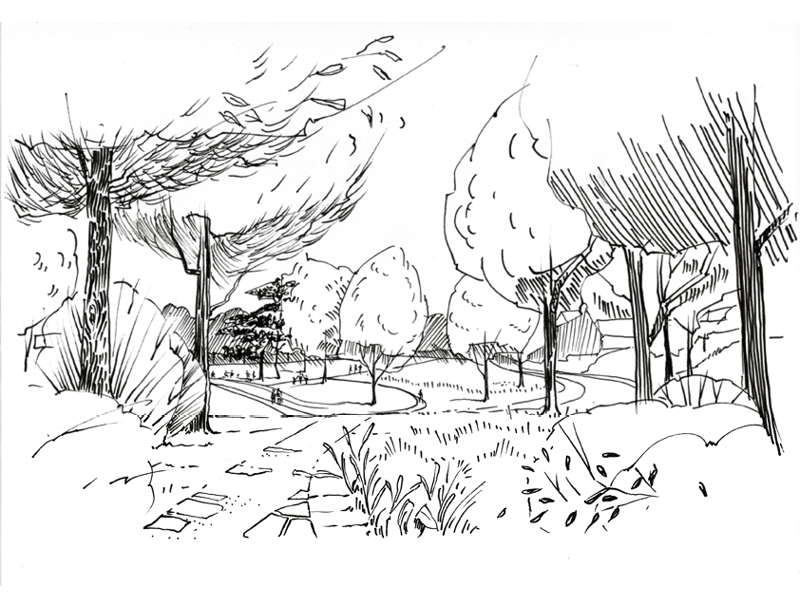
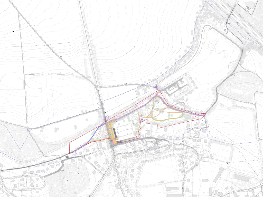
Pedestrian movement, which is key for the recreational use of nature, is complicated in the addressed territory by a series of barriers. Terrain breaks, highways and vanished historical trails presented challenges that had to be worked with. Nevertheless, it was possible to create a comprehensive and functional network of footpaths as well as a backbone cycle path across the entire territory. At the same time, missing urban connections to the individual parts of the village of Středokluky (to its centre and to the Na Ovčíně locality) and a cycling link towards Kalingers Mill were designed.